
Port-call planning
Tide, current, and weather-aware arrival and berthing windows that keep vessels, pilots, and terminals synchronized.
ARMS-Local runs as a persistent digital twin of your port — turning tides, currents, waves, and weather into decision-ready intelligence for pilots, terminal operators, and harbor masters.
One continuously operating model, tuned to your channel, berths, and anchorages, replaces fragmented charts, generic forecasts, and manual judgment calls.
Discuss your portTide, current, and weather-aware arrival and berthing windows that keep vessels, pilots, and terminals synchronized.
Continuously updated water-level and squat calculations for the exact channel and berth, not a static chart datum.
High-resolution waves, currents, water levels, and wind, localized to the harbor, approach channel, and anchorage.
Early warning on storm surge, swell events, and rapid conditions changes, with lead time for operational decisions.
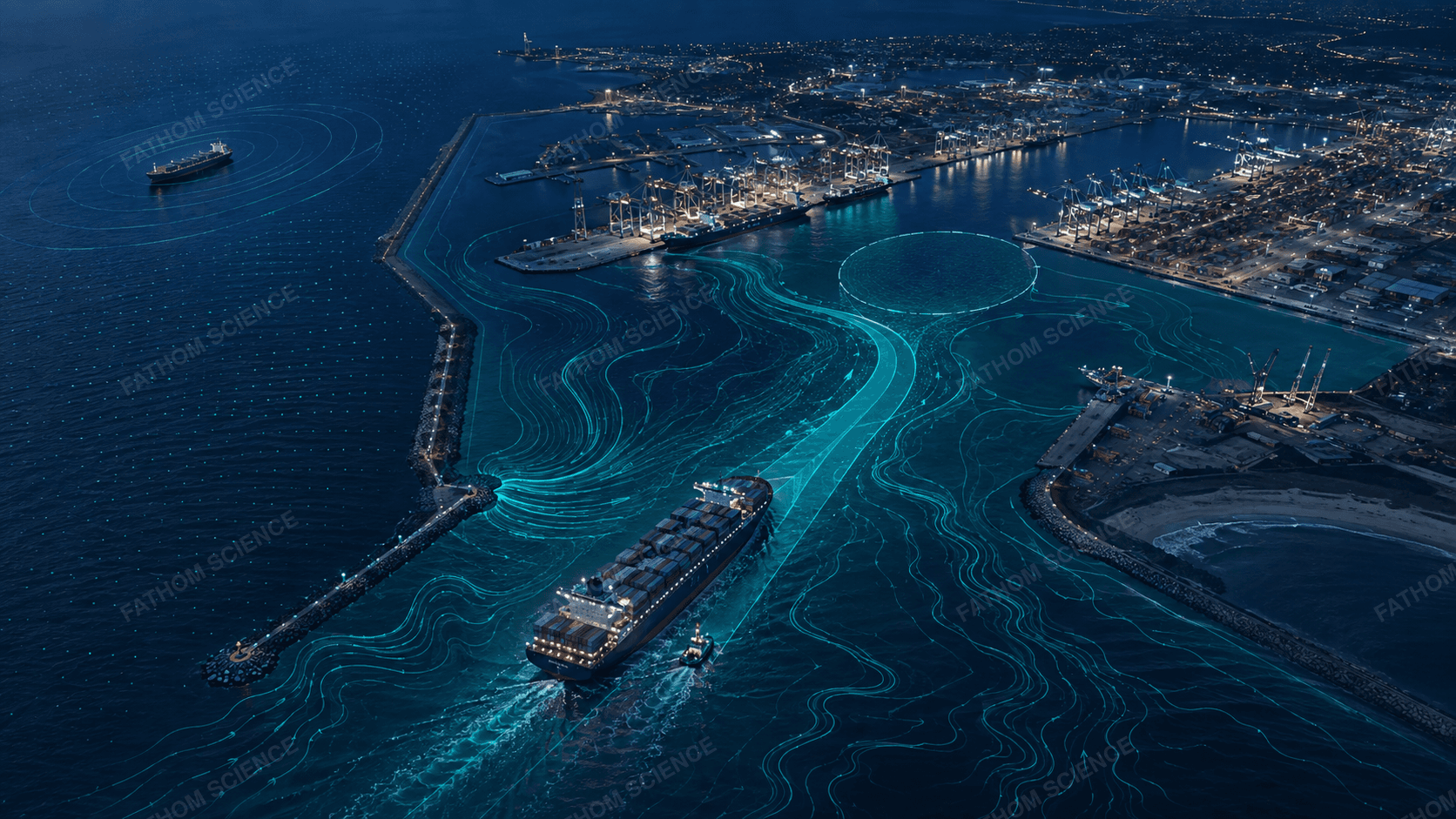
Pilots, terminal planners, harbor masters, and vessel traffic services all work from the same continuously updated model of the port — instead of reconciling separate forecasts and instruments.
ARMS-Local is one of two ARMS deployment modes — the other, ARMS-Mobile, follows vessels and fleets.
Compare ARMS-Local & ARMS-Mobile