Route optimization
Voyage routes tuned to currents, waves, and weather for the fastest, safest passage.
ARMS-Mobile follows your vessels and fleets — turning route-specific currents, waves, and weather into decision-ready intelligence for masters, dispatchers, and voyage planners.
One relocatable digital twin, tuned to the vessel's actual track, replaces generic weather routing with a model that moves with the ship.
Discuss your fleetVoyage routes tuned to currents, waves, and weather for the fastest, safest passage.
Continuously updated storm and swell avoidance for the vessel's actual track.
Just-in-time arrival forecasts that reduce anchorage waiting and port congestion.
Speed and routing recommendations that cut fuel burn and emissions without missing arrival windows.
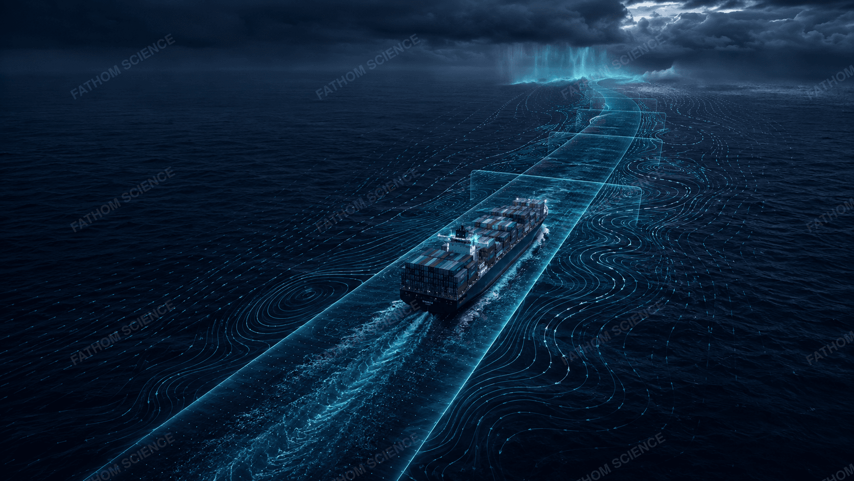
Masters, dispatchers, and voyage planners all work from the same continuously updated model of the route — instead of reconciling separate forecasts and routing tools.
ARMS-Mobile is one of two ARMS deployment modes — the other, ARMS-Local, runs as a fixed digital twin for a port or site.
Compare ARMS-Mobile & ARMS-Local